About AR Sandbox Topographic Map Resource
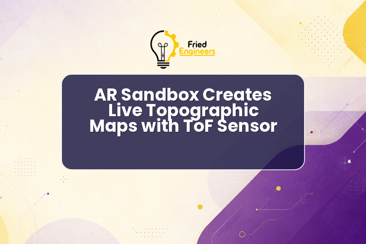
The innovative AR sandbox topographic map project showcases how readily available components can create engaging educational tools. This setup transforms kinetic sand into a dynamic, interactive landscape where elevation changes are instantly reflected as a live topographic map. It leverages a Time-of-Flight (ToF) sensor to measure distances and a pico projector to overlay visual information directly onto the sand surface, providing real-time augmented reality feedback.
- Core Technology: The system primarily relies on a ToF sensor for precise depth measurement and a pico projector for displaying the augmented reality elements. This combination allows for immediate interaction and visual feedback as users sculpt the sand.
- Interactive Learning: This project offers an intuitive way to understand complex geographical concepts such as contour lines, elevation, and watershed dynamics. Students can physically manipulate the terrain and observe the immediate impact on the projected map.
- Component Integration: It demonstrates practical integration of various electronic components and software, from sensor interfacing to image processing and projection mapping. Such projects are excellent for hands-on learning in electronics and embedded systems.
- Augmented Reality Application: The project serves as a tangible example of augmented reality, blending physical objects with digital information in a responsive environment. For more updates on similar innovative projects, visit our News & Updates section.
FE Takeaway
For engineering students and researchers, the development of an AR sandbox topographic map presents numerous learning opportunities. It highlights the power of interdisciplinary engineering, combining principles from electronics, optics, computer vision, and software development to create a functional and educational device. This type of project encourages creative problem-solving and practical application of theoretical knowledge.
- Sensor Applications: Understanding how ToF sensors are used for environmental mapping and interaction is crucial. This project provides a clear use case for depth sensing in real-world applications.
- Project-Based Learning: Replicating or extending such a project can be an excellent way to gain experience in hardware prototyping, software development for embedded systems, and user interface design.
- Educational Tool Potential: The concept can be adapted for various educational settings, from K-12 science classes to university-level engineering labs, making abstract concepts more concrete and engaging.
- Inspiration for Innovation: This project exemplifies how simple ideas, combined with accessible technology, can lead to impactful innovations. Students can draw inspiration from this to develop their own unique interactive systems. For guidance on starting your own projects, explore our Project Guidance resources.
Resource Link: Read the original update from Hackster.io